TYPHOON STORIES PART 3: Flooding during Typhoon Ulysses — did Marikina River Overflow cause that?
December 16, 2021 | Created by: Andreas Klippe | Comments

It’s been a year since Typhoon Ulysses (International name: Vamco) made Marikina River overflow and swallowed almost the whole of pitch-black Marikina City, Philippines. People were crying in horror as they heard about the intense strength of the Typhoon. The alerts reminded them of the agonizing trauma they survived from Typhoon Ondoy (Ketsana) in 2009, only worse.
The vicious winds and torrential rains instantly increased the water level of Marikina river. It resulted in catastrophic flash floods to nearby areas that ruined thousands of homes and killed 25 people in the city, plus another 42 in nearby regions.

The Coming of Horror
On November 11, 2020, in the midst of COVID-19 Pandemic, the Philippines and other nearby countries were ravaged by Typhoon Ulysses (international Name: Vamco). It is only just a few days after Typhoon Rolly (international name: Goni) made landfall. This catastrophe made Marikina River overflow.
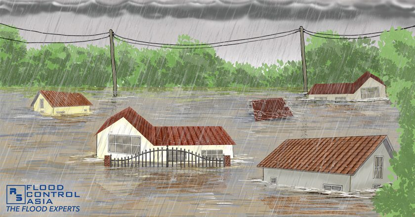
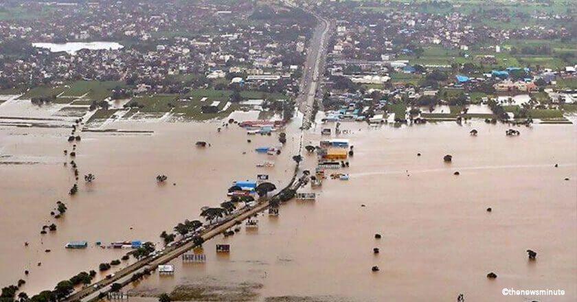
The roads in Marikina turned into vast rivers as rescue teams aboard boats, trying to save stranded residents. Eventually, the whole city vanished from the map. People on the roof were screaming and crying for help under the pitch black night.
Despite typhoon warnings, alerts, and notices, some people still decided to stay and look after their properties. The rapid rise of Marikina’s water level hoisted to 3rd alarm, and the floodwater was quickly getting through houses’ doors.

The Doombringer
Evacuation centers were extremely congested. People experienced deprivation of protective medical supplies (face mask, face shield, alcohol, and more). People in there momentarily abandoned the COVID-19 protocols and restrictions for the sake of one thing — to survive the agonizing torment. The howling wind and heavy rainfall of the Typhoon brought pain to the affected family.

We can say that the overflowing of the Marikina River is the main reason for worse flooding situations. But why Marikina River? And is there any solution to address the problem?
Inside Story of Marikina River
Yes, every year, the Marikina River overflow is well-known to be one of the major driving forces of destructive floods everytime heavy rains occur. Flood threats to the residents at the surrounding area of the River are no longer new.
This highly urbanized City is located at the heart of the valleys of Sierra Madre, San Mateo, Cainta, and Pasig City. The delicate city of Marikina catches the water outflows from the slopes of the Sierra Madre, going to the east of Marikina Valley. As a result, the water passes along rivers that threaten the residents living nearby.

Aside from its geographic location, the rapid urbanization in Metro Manila made low-income families move along and dump their trash into the River drainage channels. As a result, the accumulated dirt worsened the drainage clogs that lead to poor inflow of sewage. The mountains of plastic wastes overflow and add further flood damage.

Dams and Flooding Issues
We can read social media gossip about the releasing of dams when there’s a threat of heavy rains. People then start to blame the opening of dams for the swelling of the Marikina River. But is that really the case?
The Wawa dam located in San Rafael, Rodriguez was built in the 1900’s. Its main purpose is to serve as the water provider of Metro Manila. This dam flows through San Mateo going to the Marikina River. However, it has already been shut down. Another dam connected to Marikina are La Mesa and Angat dams. But they don’t contribute to Marikina floods as it flows toward different areas.
Thus, the dams connected to Marikina River have nothing to do in the swelling of the River. So when there’s a gossip saying that the Anggat and La Mesa dams will release water, there’s nothing for you to worry about. These dams stream through different places.

The Flooding Culprit
The Magat dam, operated by the National Irrigation Administration (NIA), flowed out huge tons of water. It is located at the boundary of Ifugao and Isabela, and not linked to Marikina River. However, the massive volume of water spilled down to low-lying areas of Luzon, including Marikina City, during the storm.
Furthermore, the four storms that consecutively hit Marikina prior to Typhoon Ulysses (Vamco) were Rolly (Goni), Siony (Atsani), and Tonyo (Etau) severely made Marikina River overflow. The torrential rain intensified the groundwater and overpumped the deep wells. The rising sea level also worsened the water level of the river.
Factors to Consider
The Marikina River overflow greatly affected the city flooding during the course of Typhoon Ulysses. Unquestionably, several factors caused such dreadful nightmare. The water release of Magat Dam passed through the river. Another is the preceding storms in the same areas. And most of all, the demographic location of the City.

The Torment After the Horror
The malevolent Typhoon Ulysses left a devastating memories to the people of Marikina. They experienced severe Marikina River overflow reached worse water level than Typhoon Ondoy in 2009. The cleanup projects were stressful and took weeks to finish. The survivors were thankful that they were safe but could not help to grieve for the mess that was in front of them.
We survived the flood. We survived the heavy storm. But I was shocked. I didn’t know how to begin again. I didn’t know if I would be able to recover. This is depressing.
The survivors thought that the height of the typhoon was dreadful already. They never imagined the aftermath was worse and more devastating. Coming back home became a nightmare after seeing their properties all soaked and covered with mud.

Life-Changing Security
The government proposed several flood control projects to avoid Marikina River overflow, and to protect nearby low-lying areas against floods. Some of them are finished, while some are still ongoing. Land development, river walls, and river channeling were considered to decrease the threats of floods.


Another project of the government to maximize the flood security of the low-lying communities is the multi-purpose dam in the upstream of the Marikina-Montalban River Basin to control the flow of floodwaters during heavy rains.
In addition is the ongoing construction of Manggahan Control Gate Structure. This structure can allow only up to 500 cubic meters of floodwater to go into the Pasig River.
The DPWH also considered the need to revive the Parañaque Spillway Project to regulate the floodwater level. It is designed to pump out water from the Laguna Lake going to Manila Bay.
According to Architect and urban planner Felino “Jun” Palafox, “[We must] address the dangers before they become disasters because they are 90% cheaper than calamity recovery.”

The Country’s Silver Lining
Despite the government projects against Marikina River overflow, it is still better to ensure the safety of your home and family. Flooding is still inevitable for communities nearby the river despite several successful government flood-control projects.
Tuguegarao and Cagayan Valley experienced severe flooding. This is something unusual as these places rarely experience flooding. Typhoon Ulysses almost swallowed them with floodwater. So what more to the low-lying communities of Metro Manila in the coming future?

There is an existing technology that may help you protect your homes, properties, and loved ones. These flood control products are long-lasting, portable, and cost-effective against river overflow.
Previously, we mentioned that the riverbank of Marikina River has no barrier to protect the surrounding area against river overflow. Apart from other long-term projects, an advanced and high-quality floodwall barrier is still one of the best solutions against river overflow compare to traditional sandbags.
Flood Protection Like No Other
There is a Sweden-made barrier that can function as a floodwall beside Marikina Riverbanks. INERO™ Mobile Flood Barriers is a quality, portable, cost-effective, and long-lasting flood defense. It’s adaptive feature is perfect for any surface and topography. Grassy, muddy, and sandy surfaces of the Marikina River are nothing to INERO™.

You can place the barriers when a storm and flood threat occurs. After the course of typhoons and floods, you can disassemble them and store them in its area for the next use. You can use INERO™ for 50 years and more — that means half a century of protection against destructive floods.
To learn more about the function of INERO™ Mobile Flood Barriers, feel free to click the “WATCH THE VIDEO” button for a clearer view.
You can also have a talk with one of our Flood Experts. They will educate you more about river protection. All you have to do is click the “BOOK A MEETING FOR FREE” button.


